Our fishing is divided into four main stretches
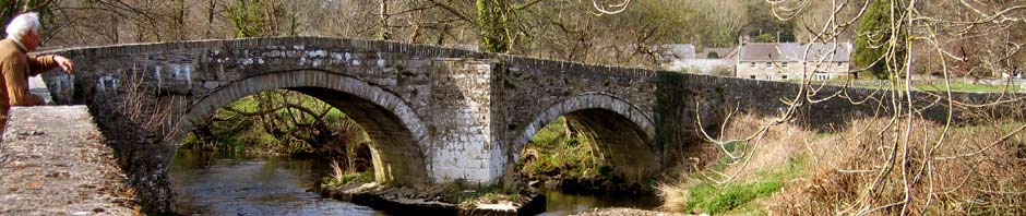
A – The river below Nevern bridge (left bank), including Merlins pool, the woods and the tidal stretch. The right hand band above the bridge as far as the Penwaun border.
B – The Penwaun stretch which includes Corner pool (left bank), Pwll Nica, Pwll Penny, and Pwll Tanner. No worming on this section and additional rules apply.
C – Felindre Farchog stretch, both above and below the bridge which includes sheep dip, white rock, corner pool and the weir.
D – Crosswell water, both above and below the bridge which includes the long pool and holdings pools.
YOUR CATCH RETURN IS MARKED IN ACCORDANCE WITH THE ABOVE AND IS REQUIRED AT THE END OF THE SEASON AS A CONDITION OF MEMBERSHIP
NEW FISHING
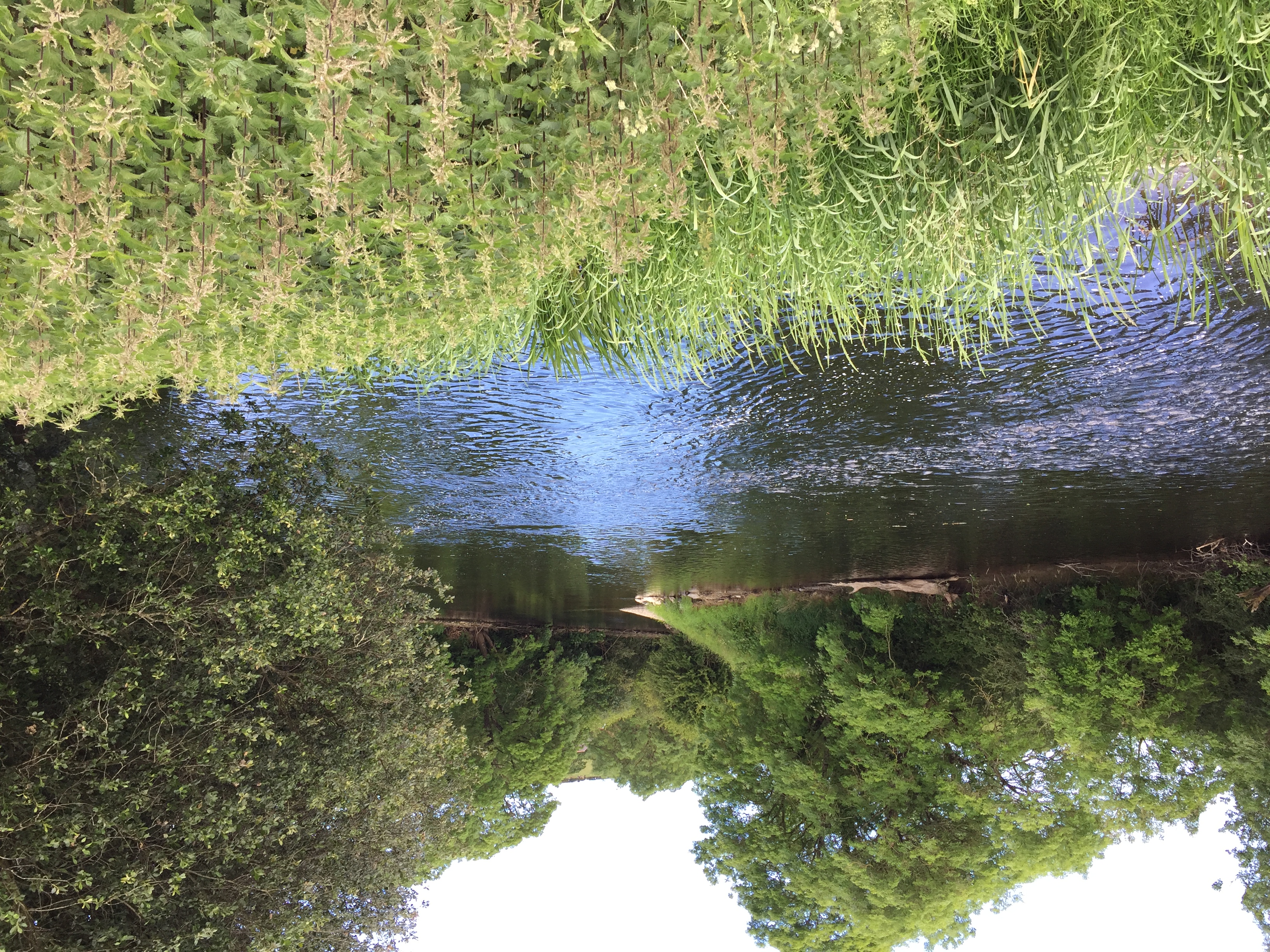
As of May 2017, we also have a stretch of water on the lower Teifi.
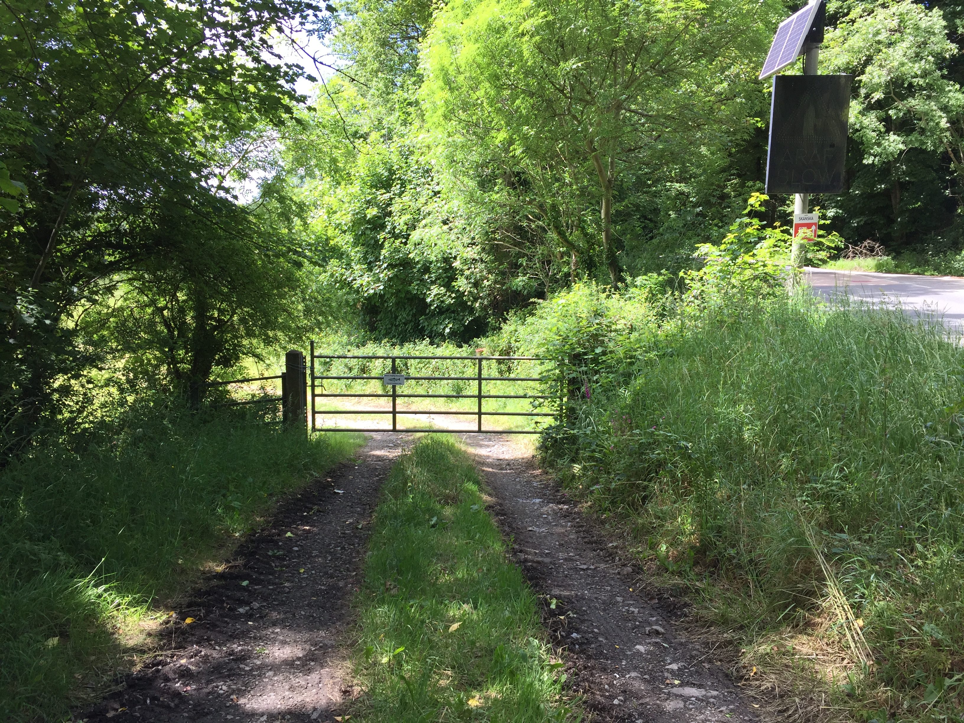
Access to Llechryd Water
Llechryd water (end of beat)
The fishing is just upstream of the pump house in Llechryd.
From Llechryd bridge, drive up river towards Cenarth. As you pass the pumping station on the left, slow down and look out for a lay-by on the right. There is a gate below into the field. Walk towards the two gates and take the right gate for the lower water and the left gate for the upper water. The lower limit is the small footbridge over the stream. Take care as some of the banks are high.
Please ensure you close all gates after you as there are cattle in the fields.
Left and Right banks are always looking downstream.
You will be issued with a map when you join or purchase a ticket. All maps are approximate. Fishing boundaries are marked on the river.
Maps
Crosswell Fishing
Felindre Farchog Fishing
View Felindre Farchog Fishing Nevern Angling Association in a larger map
Nevern Bridge Upstream
View Nevern Bridge in a larger map
Nevern Bridge Downstream
View Nevern Bridge downstream in a larger map
Tidal Stretch
PLEASE NOTE WE DO NOT HAVE THIS STRETCH THIS YEAR (2023)
View Tidal stretch in a larger map
Teifi fishing